



Srinagar, Aug 8: A flood is rarely just a rainfall story. In the Himalayas, what happens after the rain depends on what is happening to the snow, ice, forests, slopes, wetlands and drainage systems around it. Kashmir has always experienced sudden spells of rain, summer thunderstorms and sharp temperature changes. But in recent years, intense, highly localised showers and the damage they trigger have become an increasingly visible feature of the region’s weather.
This summer, a widely circulated figure has put the number of cloudbursts in Jammu and Kashmir at around 35. But a veteran meteorologist who has closely observed the region’s weather for decades has questioned the scientific basis of that claim, saying there is no clear evidence to establish that 35 such events actually occurred.
At the same time, he says there is evidence of something else that may be more significant: an increase in the frequency and intensity of intense rainfall events.

“The frequency & intensity of intense rainfall events have changed, has increased as per researches published in major journals, this besides field evidences,” said Sonam Lotus, former Director of the Meteorological Department in Jammu and Kashmir.
The distinction matters.
A cloudburst, an intense rainfall event and a flash flood are not interchangeable terms. And while extreme rainfall can trigger flash floods, not every flash flood is necessarily caused by a cloudburst at the location where the flooding occurs.
So, did Kashmir really witness 35 cloudbursts?
Lotus says the figure needs to be treated with caution.
“The report of occurrences of 35 Cloudbursts has no Scientific basis. Who has counted it? On what basis the report said that these rainfall events are cloudbursts?” he said.
His questions highlight a basic problem in counting cloudbursts: there must be a scientific definition and a reliable method of measurement before individual rainfall events can be added to a total.
A report describing a sudden flood, torrential rain or damage caused by a landslide does not, by itself, establish that a cloudburst occurred.
This is particularly important in the Himalayan region, where rainfall can be highly localised. One location may receive extremely heavy rain while another nearby area receives much less.
But something in the rainfall pattern is changing
The uncertainty surrounding the figure of 35 cloudbursts does not mean that nothing is changing.
According to Lotus, research published in major scientific journals, along with field observations, indicates that the frequency and intensity of intense rainfall events have increased.
That is a different proposition from saying that Kashmir has experienced 35 cloudbursts.
It also provides a more useful way of understanding the weather extremes increasingly being observed across the region.
The process can be relatively simple.
A warmer environment can increase the amount of moisture available in the atmosphere. When warm, humid air becomes unstable, it can rise rapidly. In mountainous terrain, the Himalayas can further force moist air upwards.
The rising air cools, moisture condenses and clouds develop. When atmospheric conditions are favourable, convection can produce intense rainfall over a relatively small area.
In the mountains, the consequences can be amplified.
Water can rush down steep slopes and narrow valleys, swelling streams and nallahs within a short period. Saturated slopes can become unstable, triggering landslides, while roads, bridges, farmland and settlements close to waterways can be exposed to sudden flooding.
In simple terms, the chain can look like this:
Warmer conditions → moisture and instability → strong convection → intense localised rainfall → rapid runoff → flash floods and landslides.
But this does not mean that every intense shower is caused by climate change, nor that every flash flood is the result of a cloudburst.
A warmer Kashmir does not mean every day will be hotter
This is where the climate question becomes more complicated.
Climate change does not necessarily produce a steady rise in temperature every day or every season. Instead, it can alter the background conditions in which weather systems develop.
Kashmir can therefore experience a very hot afternoon followed by intense rainfall and a sharp fall in temperature.
In June, temperatures in parts of the Valley climbed into the mid-30s. By August, persistent cloud cover and rainfall had brought daytime temperatures in some locations towards the low 20s.
The contrast may appear contradictory, but it is not.
Heavy cloud cover reduces solar heating at the surface, while rainfall and evaporation can cool the lower atmosphere. A strong convective shower can therefore rapidly transform the conditions experienced at ground level.
The more important question is whether the frequency and intensity of these extreme transitions are changing over the long term.
Research on the Kashmir Himalaya has already documented warming trends and projected increases in several indicators of warm-temperature extremes, with potential consequences for the region’s mountain ecosystems.
But a single hot day, a single cold spell or a single cloudburst cannot establish a climate trend.
That requires long-term observations.
Kashmir’s mountains are part of the equation
The Valley’s geography also makes its weather particularly complex.
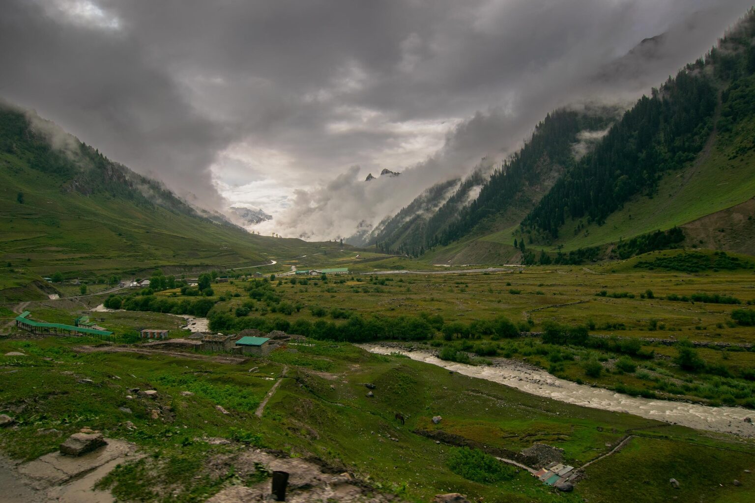
The Himalayan and Pir Panjal ranges influence the movement and lifting of moisture-bearing air. Kashmir is affected by different weather systems, including western disturbances, while monsoonal moisture can also reach parts of Jammu and Kashmir under favourable atmospheric conditions.
The combination is particularly important in Jammu’s mountainous districts.
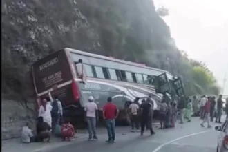
Lotus’s observations come as the region has witnessed a series of severe weather incidents in which cloudbursts, intense rainfall, flash floods and landslides have damaged infrastructure and disrupted communities.
The impact has been especially severe in parts of the Jammu division, including the Poonch and Chenab regions, where terrain and weather systems can combine to make intense rainfall particularly hazardous.
The same amount of rainfall can have very different consequences depending on where it falls.
A prolonged shower over a relatively gentle landscape may cause little damage. The same volume of water released rapidly over a steep Himalayan catchment can turn into a destructive torrent.
Flash flood does not always mean cloudburst
Another important distinction is between rainfall and flooding.
A flash flood can occur even when there is no rain falling at the location where the flooding is observed.
Rain may have fallen heavily upstream, sending a sudden surge of water downstream. Other hydrological processes can also contribute to rapid flooding.
That means a photograph or video showing a flooded stream or road cannot, on its own, establish that a cloudburst occurred at that location.
This is one reason why the number of reported flash floods cannot simply be converted into a number of cloudbursts.
Are we seeing more floods — or simply hearing about them more?
There is another factor complicating comparisons with the past: social media.
Lotus said he has witnessed an increase in reports of flash-flood incidents over the years, particularly since the widespread arrival of platforms such as WhatsApp, Facebook and Instagram.
“People, especially the youngsters, break the news of occurrences on social media, for info, to increase viewership, to popularize the media handles,” he said.
That does not mean the events are fabricated or unimportant.
Instead, it means today’s Kashmir is much better connected to itself.
A resident with a mobile phone can record a sudden flood in a remote area and distribute the footage within seconds. An incident that might once have remained confined to a village or local administration can now become visible across the Valley almost immediately.
Lotus described technology as a powerful source of information but warned that it is also “a double edge weapon.”
The result is a new challenge for anyone trying to establish whether extreme events are genuinely becoming more frequent.
More reports do not automatically mean more events.
To determine whether the climate is changing, scientists need consistent observations collected over long periods and comparable definitions for different types of extreme weather.
The landscape can turn extreme weather into disaster
Climate is only one part of the story.
The consequences of intense rainfall are also determined by the condition of the landscape.
Forests, wetlands, glaciers, snowfields, streams and natural drainage channels form interconnected systems that influence how water is stored, absorbed and released.
When slopes are disturbed, drainage channels narrowed, wetlands degraded or construction expands into vulnerable areas, the ability of the landscape to cope with sudden rainfall can diminish.
Himalayan Post has previously reported, using satellite-based analysis, a decline of around 18 per cent in dense forest areas, raising questions about the changing capacity of the landscape to regulate water and stabilise slopes.
The region’s glaciers and snowfields are changing as temperatures rise, affecting the timing and rate at which snow and ice melt. In some high-altitude areas, the growth of glacial lakes is also being monitored because sudden drainage can trigger glacial lake outburst floods (GLOFs).
At the same time, changes in forests, wetlands and natural drainage can affect how quickly rainfall is absorbed or moves through a catchment. Deforested or disturbed slopes can produce greater surface runoff and become more susceptible to landslides, while degraded wetlands have less capacity to store excess water.
These factors can therefore contribute directly to flooding or amplify the impact of intense rainfall. The important distinction is that their role varies from event to event. A particular flood may be driven primarily by intense rainfall, while another may involve snowmelt, glacier melt, a glacial-lake release, slope instability or a combination of factors.
The real question is no longer just about 35 cloudbursts
The number 35 may remain impossible to verify unless officials identify who counted the events, what criteria were used and what data were examined.
But that question may ultimately be less important than the broader one.
Are intense rainfall events becoming more frequent or more severe in Kashmir?
According to Lotus, research and field evidence point towards an increase in the frequency and intensity of intense rainfall.
If that trend continues, Kashmir faces a difficult combination: a changing atmospheric environment on one side and an increasingly vulnerable landscape on the other.
The Valley’s weather has never been perfectly predictable. Sudden thunderstorms, heavy rain and temperature fluctuations have always been part of the Himalayan climate.
What deserves closer scrutiny is whether the scale, intensity and timing of those extremes are changing.
The warning, therefore, may not be that Kashmir will simply become hotter.
It may be that its familiar weather rhythm is becoming less predictable — with hotter periods followed by sudden cooling, humid conditions giving way to intense localised showers, and heavy rainfall in mountain catchments quickly turning into flash floods and landslides.
For a region built around its mountains, forests, snow and water, understanding that changing rhythm is no longer merely a question of weather.
It is a question of how Kashmir will live with its climate in the years ahead.
Lotus said the growing concern is not only the increase in intense rainfall but the vulnerability that accompanies it.
“The main point is that intense rainfall events are increasing; as a result, vulnerability also increases,” he said.
He stressed that reducing weather- and climate-related risks would require development planning to be based on scientific assessment and greater preparedness among communities.
“To reduce risks of weather and climate, all our developmental goals have to be built on scientific lines and also build capacity of our people,” Lotus said.
For Kashmir, that means the challenge is no longer simply predicting when extreme weather will arrive. It is also about ensuring that roads, bridges, settlements and other infrastructure are designed for the risks the mountains may increasingly face — and that communities have the knowledge and capacity to respond when intense weather strikes.