




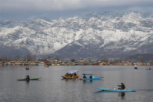
Srinagar: MeT officials announced on Saturday that an intense weather disturbance is expected to bring moderate to heavy rain and snowfall to J&K starting from late evening today.
According to the officials, during this period, moderate to heavy rainfall is anticipated in the plains, with heavy snowfall likely in the higher reaches of north Kashmir’s Kupwara, central Kashmir’s Ganderbal, and Bandipora, as well as in south Kashmir’s Shopian, Pulwama, and Kulgam.
Additionally, this weather disturbance is expected to cause a gradual decrease in normal day-night temperatures.
Furthermore, IMD has issued an advisory warning of potential temporary road closures, including Sinthan Pass, Mughal Road, Sadhna, Razdan Pass, and Zojila.
According to Met data, Srinagar, the capital of Kashmir, recorded a minimum temperature of 3.0 degrees Celsius. Qazigund, the gateway town of the Kashmir valley in south Kashmir, recorded a low of 1.0 degrees Celsius. While Pahalgam, Kashmir’s top tourist resort, logged 0.7 degrees Celsius, Kokernag recorded a minimum of 2.0 degrees Celsius.